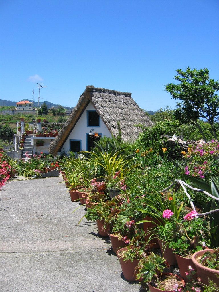
Up Ron & Marjolijn's holiday pictures » 2008-05 Madeira Prev Next Slideshow

 Previous image  Next image  Index page  Original Image [44-Traditional house.jpg - 629kB]
32-Path to the Pico Ruivo
33-Seaview
34-Beach
35-The track to the Pico Ruivo
36-Mountains around the Pico Ruivo
37-The track to the Pico Ruivo
38-Mountains around the Pico Ruivo
39-Mountains around the Pico Ruivo
40-Mountains around the Pico Ruivo
41-The Pico Ruivo
42-The track to the Pico Ruivo
43-The track to the Pico Ruivo
  44-Traditional house.jpg - Traditional house  
45-Arco de Sao Jorge
46-Landscape
47-The old road along the cost
48-Swimming pool
49-A good beer
50-The gorge near Curral das Freiras
51-The town
52-Cascate do Risco
53-Cascate do Risco
54-The levada de Rabaçal
55-The levada de Rabaçal
56-25 Fontes

Traditional house Download Original Image
Latitude: N 32°48'18,43" | Longitude: W 16°52'56,38" | Altitude: 431 metres | City: Santana | State/Province: Ilha da Madeira | Country: Portugal | Copyright: Marjolijn Michels | See map
Total images: 62 | Help